The above timeline and map is my first experiment with MyHistro. While I love the way the map zooms and moves to different locations as the events of the timeline play through, I was disappointed that the photo embedding feature didn’t work. This would have made it an excellent tool…
Tag: Mapping
Not everything came up roses in my dive into historical data visualization. For instance, some visualizations broke. The image on the left tells me nothing about the number of emigrants to Algeria from specific departments in France as expected. It was also very difficult to upload a custom map in…
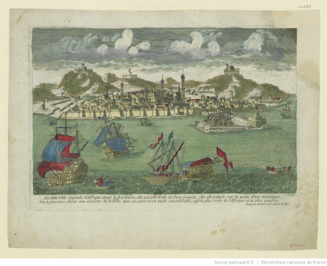
What would a map of French colonial Algeria or the American Midwest look like if we took a humanistic epistemological approach? How would such a map change if it took into consideration the humanistic notion that space is a construct influenced by perception (of travel times, of fear, of violence,…